


Ireland’s current spell of hot weather could come close to matching the country’s longest heatwave on record, according to Met Éireann, although forecasters said it was unlikely the record would be broken.
The national weather service said Friday could potentially mark the final day needed to match the record of 14 consecutive days of heatwave conditions recorded between 14 and 27 August 1976.
A heatwave is officially defined as five consecutive days with temperatures reaching at least 25C. However, Met Éireann said it currently appeared unlikely that the 1976 record would be surpassed on Saturday, although the duration of the present warm spell could come close.
A weather advisory for high temperatures remains in place until Monday as temperatures are expected to ease somewhat from recent peaks. Met Éireann warned that the effects of the prolonged period of very warm or hot and dry conditions would continue to be felt.
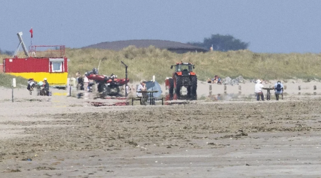
People have been urged to take care around waterways as increased temperatures are expected to encourage more people to visit beaches, lakes and other swimming areas. Authorities have also warned of an increased risk of heat stress and dehydration, particularly among older people and others who are vulnerable to high temperatures.
The weather service also highlighted concerns about animal welfare, drought conditions and the increased threat of wildfires and forest fires following the extended dry period.
Friday was forecast to remain warm and dry across most of the country, with the sunniest conditions expected in the Midlands, south and east. Temperatures were expected to reach between 23C and 26C in those areas.
Northern and northwestern counties were expected to see more cloud, with temperatures ranging from 17C to 22C in a light to moderate northerly breeze.
The night was forecast to remain dry and mostly clear, although isolated patches of mist could develop. Temperatures were expected to fall to between 9C and 13C, making the night fresher than those experienced during the recent warm spell.
Saturday was expected to remain dry and clear in most areas, while Ulster and north Connacht could see increased cloud and a few patches of drizzle. Overnight temperatures were forecast to range from 10C to 14C.
By Monday, conditions were expected to become cloudier overall, although sunny periods were likely across the southern half of the country. Most areas were expected to stay dry, with some drizzle possible in parts of Connacht, Ulster and north Leinster.
Temperatures were forecast to remain warm in Leinster and Munster, reaching 20C to 25C, while cooler conditions were expected in Ulster and Connacht, where temperatures could range from 17C to 20C.
Met Éireann’s warnings come as Ireland continues to experience the effects of an unusually prolonged period of dry and warm weather, with residents advised to remain alert to heat-related health risks and fire dangers.
